The Weather Guy – Back to Back to Back… It’s a 3 Peat.
Posted on 18 Jul, 2017
The mountain has been buzzing with activity this week with a string of awesome days to finish up the school holiday period, but it’s getting even better…
Snow is falling… a whole lot of it and it’s all thanks to the first front within a complex snow system moving our way. We’re are in for a three day run of snowfalls with temperatures plummeting further on Thursday!

Tuesday, Wednesday and Thursday:
Following a dusting of snow across the upper slopes overnight, conditions have really started to get exciting as the initial front nears. Strong pre-frontal northwesterly winds have already gusted up to 113km/h this morning at Thredbo Top Station and have remained gusty throughout the day with damaging wind warning in place issued by the Bureau of Meteorology.
The freezing level dropped at times throughout today, with some great flurries falling to around 1500m where 5-10cm has fallen, with around 3cm of lower quality sleet/snow falling and collecting in the village.
As we’ve seen over the past few weeks, gusty northwesterly winds were here to lend a hand by stripping the main range of it’s snow stock pile and depositing it on the slopes of Thredbo in huge quantities.
Come Wednesday, a second trough associated with the larger scale low pressure system looks to move overhead maintaining snow falls to around 1300-1400m.
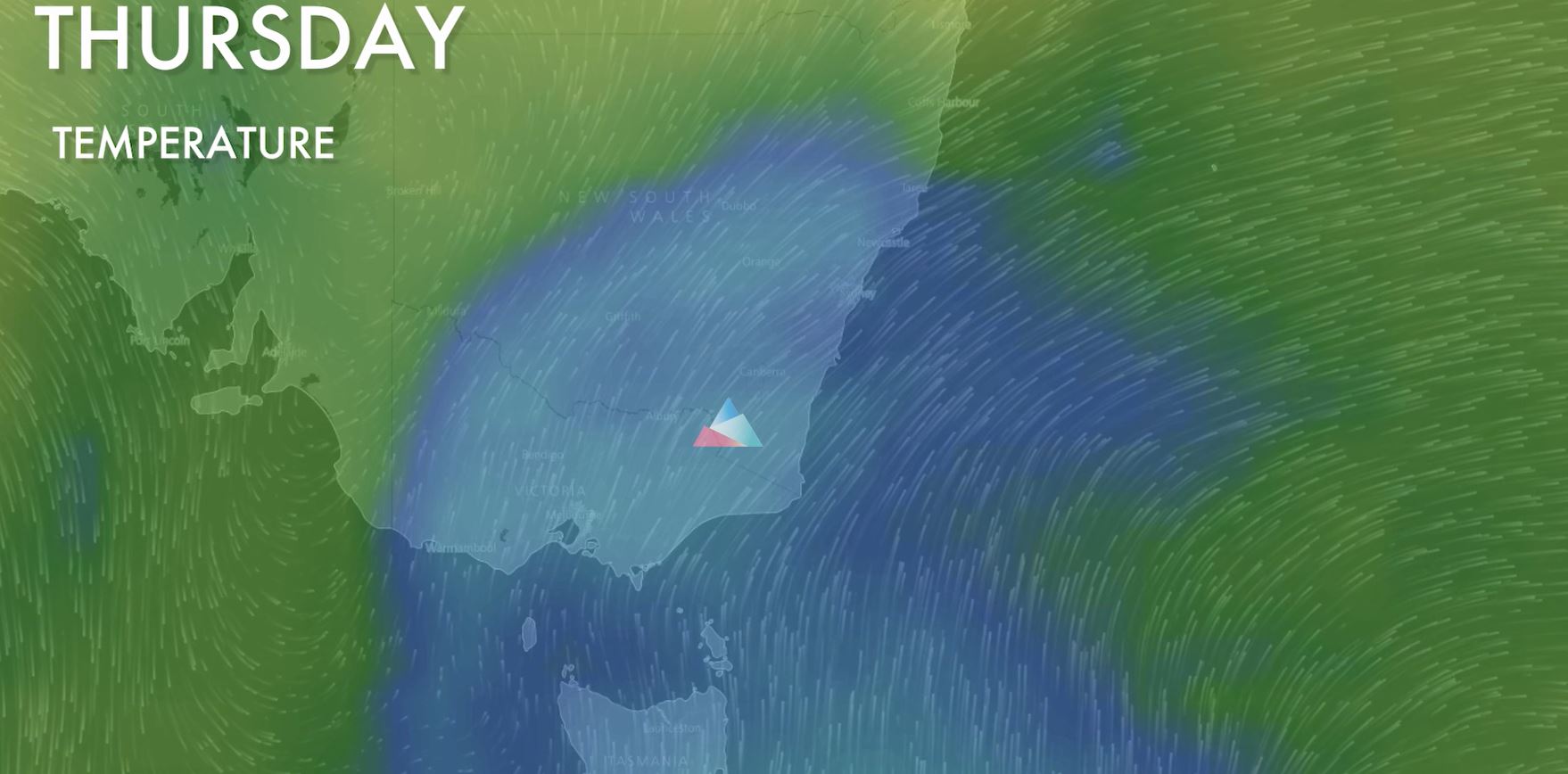
The coolest airmass then looks to move over the region on Thursday as the low moves over the Tasman Sea. The majority of the moisture may have fallen by this stage, but we should see a few flurries from the top of the mountain right to the village – a feat we haven’t seen too often this season. This will easily be the coldest day of the week and the best chance of seeing good quality dry snow from top to bottom.
All up, we should pick up around 15cm by the end of the week (60-70% chance), perhaps up to 20cm by Thursday evening if we are lucky, plus all the wind blown snow coming in from the main range.
It’s looking like back to back to back systems… a 3-peat!

This weekend:
In the longer term, it looks as though a high pressure ridge should build into the weekend leading to a few days of nice conditions with the sun even making an appearance. Back to bluebird conditions! Yew!

Whether you ski, snowboard, hike, mountain bike or are visiting for the first time, our app is your companion to Australia’s Premier Adventure Destination.


Sign up for news
Subscribe to our newsletter to receive deals, the latest weather, forecasts, news, events and more!
Thredbo sits on the traditional land of the Monero – Ngarigo people who have looked after this land, water and community for over 60,000 years. We thank them for all they have done and continue to do to look after their country, a special place which we all love and respect.